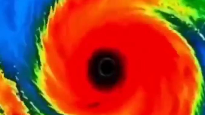
The tropical Atlantic has officially turned into a nightmare as a monster storm system is currently spinning into a violent hurricane that experts warn could reach catastrophic proportions. Meteorologists are sounding the ultimate alarm, tracking a rapidly strengthening cyclone that is tearing through the Caribbean with relentless fury. This isn’t just another storm; it is a developing behemoth poised to unleash absolute devastation upon the coast. With warm waters fueling its rapid growth, the trajectory suggests a direct, life-threatening impact that will force evacuations and leave millions in the path of total destruction. You must prepare for the worst immediately.
The National Hurricane Center has begun issuing urgent advisories for Potential Tropical Cyclone Nine, a system that forecasters fully expect to strengthen into Tropical Storm Helene and potentially evolve into a major hurricane later today or tonight. The system is currently producing vast, disorganized thunderstorms across the northwestern Caribbean, but satellite imagery confirms that the disturbance is quickly beginning to form a more defined center of circulation. Once this core fully develops and solidifies, the storm is expected to enter a phase of explosive intensification. Atmospheric and oceanic conditions currently appear incredibly favorable for this rapid strengthening, especially as the system tracks into significantly warmer, deeper waters.
Forecasters are watching the system with intense scrutiny, looking for every subtle sign of organization that would mark its formal transition into a named, dangerous storm. Current projections indicate that Helene is slated to move northward through the Yucatán Channel within the next 24 to 36 hours. From there, it is expected to emerge directly into the Gulf of Mexico, a region where further, aggressive strengthening is considered highly likely. The environmental conditions in the eastern Gulf are primed to support significant intensification, potentially turning a standard tropical system into a major, life-altering weather event.
Sophisticated forecast models currently show Helene tracking decisively toward the Florida Panhandle and the West Central Florida coastline by Thursday. However, meteorologists and emergency officials are issuing a stern warning: even small, last-minute adjustments to the projected path could drastically shift the specific areas most at risk. Residents across the entire Florida peninsula and the neighboring states should remain hyper-aware of these potential changes. As the storm pushes closer to the mainland, the risk of it reaching hurricane strength is high, and some of the more aggressive projections indicate it may intensify further, potentially approaching Category 2 or even Category 3 status before making its final landfall.
Leave a Reply